


![]() To find an idea of hiking to do with a GPS or a description in the Gard and in France.
To find an idea of hiking to do with a GPS or a description in the Gard and in France.
You can upload and download a free gps track.
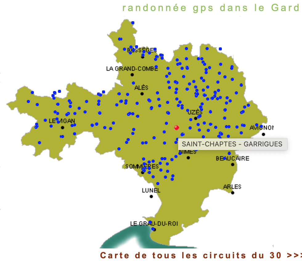
With an example of a circuit that starts and ends in Saint Chaptes.
 Very easy to use, with or without gsm and gps applications, but with the possibility of downloading the gps track if you are equipped, in addition to the route descriptions.
- The site is free to access, but is fed by advertisements and donations.
- You can also upload and share your tracks in the Gard and in France.
- RandoGPS shows Saint Chaptes (the red dot on the map) in the middle of the different routes listed on its site in the Gard. :-)
Below, the example of the Saint Chaptes circuit near the lodge Le Palmier de Mira: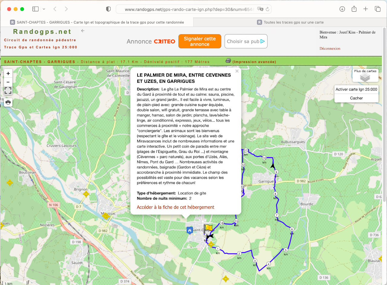
![]() www.randogps.net - link to the Saint Chaptes circuit
www.randogps.net - link to the Saint Chaptes circuit